

Site last updated 22/3/19
Formed 1st January 1973


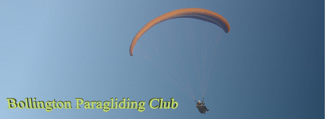
A paramotor flight from Sandbach to SkyLincs, North Luffenham, Lincolnshire, 8th July 2007

2hrs 45 mins. 150km.
Got into the air 07.45. Marginal forward/reverse launch decision, opted forward,
and with a newly fitted electric start, it was a dream to fire-
Before launch the mind games bring their little dollop of self doubt, but once in the air, I feel very comfortable.
Jason, a local flying buddy who flies out of a field near J16 M6 was texting while I was setting up, he was going to try and photo a friends house near Beeston, a wedding prezzy.
I crossed the rugby club at Sandbach at 800' and followed the M6 down towards Keele services, where I would turn left a bit. The met looked ominous out to my right, out west, but I was going south then east, so not my problem!
I got sandwiched between low scuddy grey cloud and the hills at Keele (the forested
kink in the M6) and felt a little uncomfortable, and opted to stay the M-
On a direct line in the far distance was a lake with a dam. I couldn't see it yet so just maintained track with compass, boot mounted ball type. I always get leg shake when I extend my foot to orient the line on the compass, and it amuses me as the compass self gyrates to the rhythm.
I also had cooling towers to look for....a lesson here, I had not previously realised
that arrow point clusters on the air chart were cooling towers. i spotted them anyway,
quite quickly in the into-
I took a photo of Tattenhill airfield as I passed what would have been their
climb-
I got a thermic dose of some farm dung pit, and it lasted for ages. The Trent had flooded the valley plains. No wonder I couldn't find this ribbon of lakes on the map, they were temporary. From Burton, I had another map, folded alongside my 1/2 mill air map in the flt deck, which was a road map all the rest of the way. The two maps gave different info and helped with village to village nav or long distance nav. The airchart only shows obviously visible features, the road map close detail. I couldn't afford a mistake here East Midland control zone was just on my left.
After the Trent, I found the top of the M42 then Coalville with a massive open cast quarry/mine and took a couple of photos down into the depths, the stepped sides relieved dramatically by the sun light. It was nice and warm now, had been cooler earlier. I needed a pee.
From Coalville and its masted hill, I had Leicester to find on my right and then, past another raised area of ground, a hidden Rutland water. Got some shots of the city south of me and then Rutland Water as I approached. At this point I could relax. I had fuel, I knew that, I knew where I was and there was only Cottesmore and Wittering MATZ stubs to dip below....no real need on a Sunday, but best practice just in case either was a diversionary. Lower down it was warmer still as I rounded the pointed tip of the lake and worked my way over the caravan park and Luffenham service accommodation blocks and the rotting Mig. I photo'd the scouts' camp ground and videod Glenn on tow with a passenger (almost got him in shot for a half second) and then noticed more parked cars....hmm aero models, so turned towards the parascending Launch Point, sharpish to keep out of their way, cut engine and landed. 2hrs 45 mins. 8.75 ltrs used, 150k. and a long pee. Had a cuppa in Steve's winebago trailer wagon....he was flat out on the bed, knackered.
Jason got 10 mins into his flight when the exhaust swung into his prop. he killed the engine ahead of major damage and landed. there followed a faff walking back to the car and collecting his gear.
Vinod gave me a lift back after we'd flown everyone, but Pete was there offering a lift too, thanks chaps.
So in order of magnitude I've done Southport from Manchester, a loose plug landed
me on the way back. I've done Sandbach to Darley Moor, Airways airpark, out and back,
minus 6 carb icing etc, that was the Skywings write-
By Neil Slinger 7/07